A bit more on the brand/operator:
OpenStreetMap integrates with another project called the Name Suggestion Index (NSI).
This is basically a database of organisations, businesses, brands, etc. which links a brand that appears on OpenStreetMap to their Wikidata entry (Wikidata is basically a massive database, partner site to Wikipedia)
The Wikidata entry then contains further information about the brand, including links to their social media pages.
This sounds over the top, but the benefits are:
-
NSI acts as a repository of charging network operators. See Name Suggestion Index “charging station” list - so every location of a particular network has the same brand/operator tag.
-
The links to social media pages mean that OSM can display the logo of the brand. Of course the logo is copyrighted but OSM never hosts the logo file, it just displays what the brand uses for its social media pages.
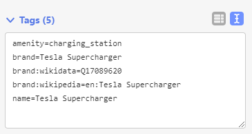
For example I just went to my nearest supercharger, which happened to have very minimal tags:
Upon editing it recognised it was part of a network and suggested additional tags:
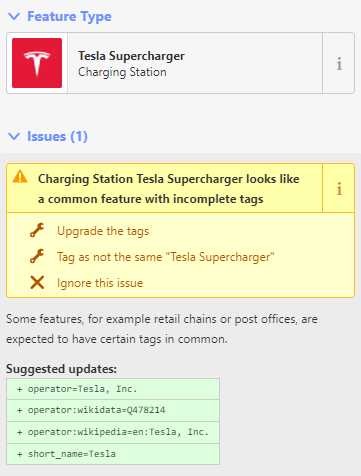
I ticked “upgrade the tags” and it added them all:
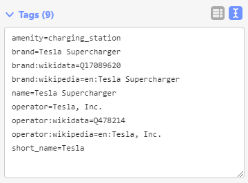
This might look overwhelming but the idea is that when a new site is added the editor selects nothing except for the brand and all the rest are automatic. This just shows what happens in the background.
I can now also add site specific values such as number of stalls, speed, etc.
For anyone who wants to see if their local charge networks are included, you can look directly at the NSI link above or if you are an OpenStreetMap editor, just add a new point and start typing in the field. As well as the normal “generic” types you’ll see brands in your region pop up. e.g.
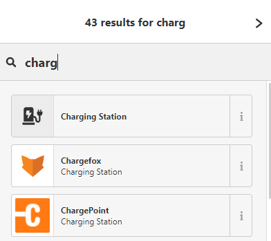
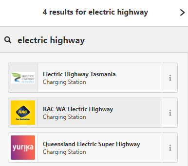
Results vary based on what country you are in.
TL;DR: This might all look very complicated to some, but the idea is to show what is happening in the background, so that contributors don’t need to stress about a bunch of text based key=value strings.


